The Maryland Food System Mapping Resource
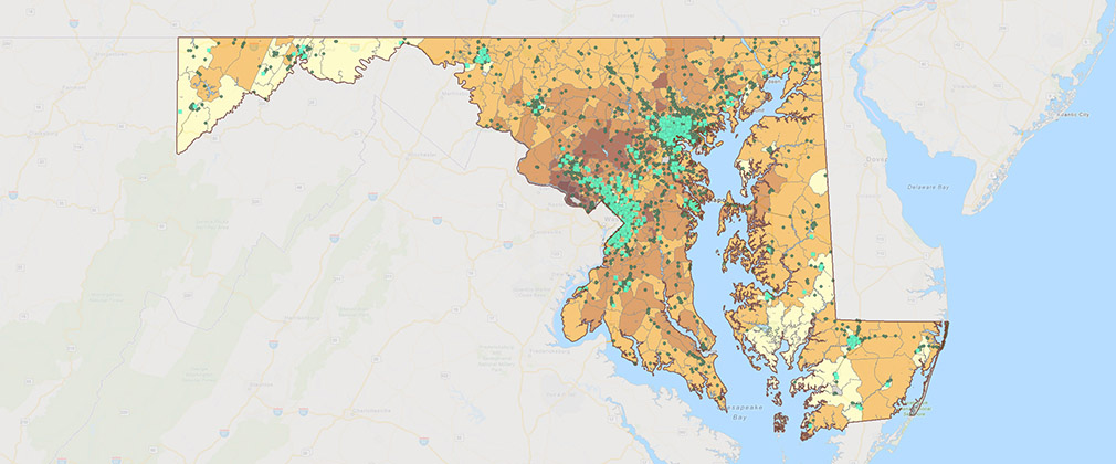
In 2012, the Center for a Livable Future launched the Maryland Food System Map, a free, easy-to-use mapping application that incorporated data on the food system, public health and the environment. The mapping application allowed users to explore data to better understand geographic patterns and trends in their community, create their own maps, or download data for their own research and planning. What started as a simple map application with just 30 indicators evolved into a database with over 400 data layers available for download, multiple data summaries, and a variety of partner collaborations across the country.
CLF retired the project in 2023 but you can still find the archived data and application code on the Johns Hopkins Data Repository portal.